
Sources for Past Residents at a Massachusetts Address
Each record describes a different part of an address’s past. Deeds trace ownership; directories and census schedules may show households; permits and maps describe building changes. None lists everyone who lived there. Start with the municipality and parcel, then choose sources that overlap the period you want to trace.
| Source | Years It Covers | Where Held | What It Shows |
|---|---|---|---|
| Registry of Deeds | Varies by district; Suffolk name index from 1973, images to 1800 by unindexed search | One of 21 districts, selected by municipality | Ownership chain, book/page, legal description, and plans |
| Boston directories and Lists of Residents | Directories 1789-1981, with gaps; resident lists 1909-2014 | State Library, BPL, and digital partners | Names, addresses, occupations, and household clues |
| Other city and town directories | Most communities; exact runs vary | State Library and local libraries | Dated occupant or household clues |
| Federal census | Released under the 72-year rule; 1950 is public | National Archives and library collections | Household details at the census date |
| Boston building reports and plans | Reports 1879-1903; plans 1902-1969; later data searched separately | Boston Archives and Inspectional Services | Building work, plan references, and address clues |
| Assessor cards and parcel maps | Current and prior fiscal years vary by town | Municipal assessor and MassGIS | Current owner, situs and mailing address, sale references |
| Sanborn and urban atlases | Town and edition coverage varies | LOC, BPL Leventhal Map Center, and partners | Building footprint, use, lot pattern, and street names |
| Obituary and probate records | Newspaper and county-index coverage varies | Libraries, Probate & Family Court, and archives | Death, family, estate, and next-address clues |
Start with the assessor for current ownership, then follow its deed reference. For occupants, compare directories with released census years; for an older building, add a map or permit. Suffolk’s dates are one district’s example, not statewide coverage.
Start Researching Past Residents in Massachusetts at the Current Parcel
First confirm the municipality. Massachusetts has 351 cities and towns, each with a local assessor. The current parcel card may show owner, site address, parcel identifier, assessed value, and last-sale reference. Keep the site address separate from the owner’s tax-mailing address, which may point to another town or state and does not prove occupancy.
MassGIS helps locate parcels, but the municipal assessor is the current source. The Interactive Property Map opens parcel fields such as site address, owner mailing address, and sale references. Use the local portal or owner-name search, or call, visit, or request the card. Note the parcel ID, sale date, book/page, and legal description as dated clues to previous residents.
Follow the Massachusetts Deed Chain Backward for Previous Residents
Massachusetts has 21 Registry of Deeds districts. Select the district for the municipality, not just the county. The statewide MassLandRecords page links to each district. Registries record deeds and related filings, assign book/page or other identifiers, scan images, and keep microfilm. A purchase deed names the current grantee and prior grantor; follow each seller back, using plans or legal descriptions to keep the chain tied to the parcel.
County labels still matter, but there is no general county records counter. Most county governments were abolished between 1997 and 2000; the Secretary of the Commonwealth supervises land registries, while probate indexes and sheriffs remain county-linked.
- Take the owner, parcel ID, last-sale reference, and legal description from the assessor card.
- Search the serving registry by property or owner to find the purchase deed.
- Note date, book/page or document number, grantor, grantee, and land description.
- Search the prior grantor as an earlier grantee and repeat.
- For older gaps, use the district’s unindexed books, microfilm, paper books, or counter.
- Grantor and grantee
- The grantor transfers an interest; the grantee receives it.
- Chain of title
- The linked recorded transfers for a parcel, followed backward.
- Legal description
- A written lot or land description that can identify property when a street address is absent.
- Criss-cross directory
- A reverse listing by street and number that may link an address to an occupant.
- Enumeration district
- A census area used to organize people counted in one part of a community.
Why Older Massachusetts Deeds Complicate the Trail to Past Residents
Suffolk Recorded Land’s name index begins in 1973; 1970-1972 is being verified, and older images reach 1800 through Unindexed Property Search. Older deeds often lack street addresses. These dates apply only to Suffolk, not the other districts.
The Suffolk Registry search page offers Recorded Land, Registered Land, and Plans modes, with name, document, book, property, date, and unindexed searches. Online search and non-certified images are free; certified copies cost $1 per page. Microfilm, paper books, a counter visit, or a written request can help with older gaps.
| Suffolk control | What to enter or choose |
|---|---|
| Office and mode | Select Recorded Land, Registered Land, or Plans, then a search type. |
| Name | Enter last name first, then first or middle name; businesses, trusts, and condominiums go in the last-name field. |
| Address | Street number and name are separate. Search 47-49 as two numbers; omit an uncertain street suffix. |
| Town and date | Optional filters narrow the recorded-date search. |
| Older references | Use book/page, certificate, plan, or document number in its matching mode. |
| Results | Open the image viewer to print or download a non-certified copy. |
Boston Permits in a Search for Past Residents of Massachusetts
Boston’s Archives permit and plan index warns that street names and numbers changed; search with the address used when the record was made.
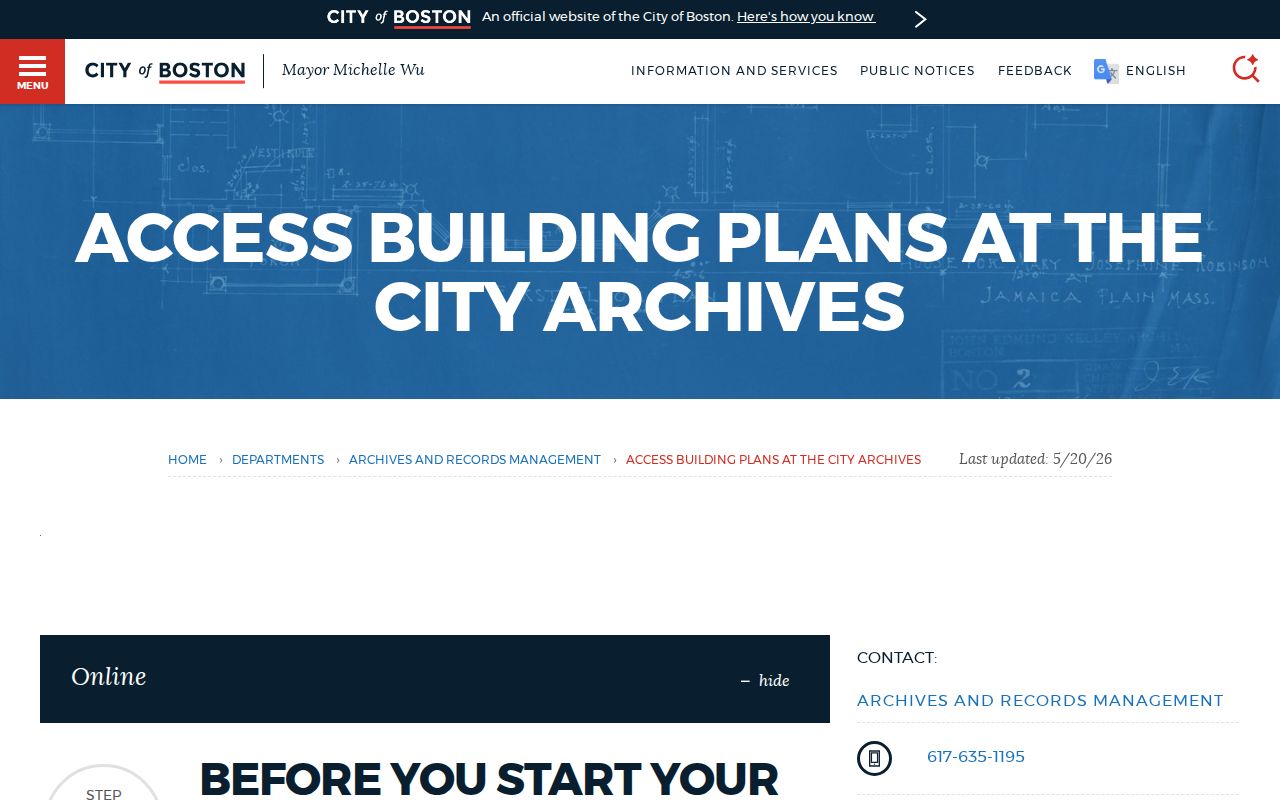
The Archives holds Building Inspector reports from 1879-1903 and plans from 1902-1969. A plan request needs the index volume/page or bin/file number; retrieval takes about five to ten days. Viewing is by appointment at 201 Rivermoor Street, West Roxbury, Monday-Friday, 9:30 a.m.-4:30 p.m. Call 617-635-1195 or email archives@boston.gov.
Inspectional Services has address searches for historic permit images and separate permit data after December 15, 2009. Its historical permit guide explains both paths.
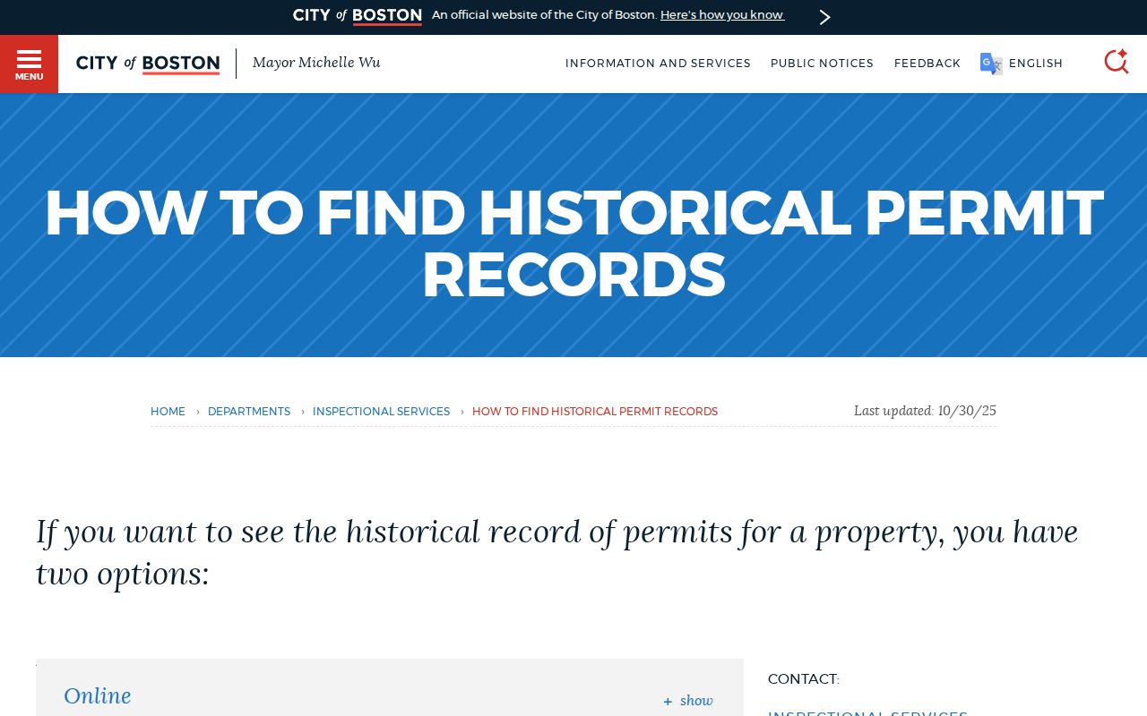
The address search is an index, not proof that an owner or applicant lived there. Its fields and controls include:
| Boston search field or option | Use |
|---|---|
| Property address | Required for historical search; use the original spelling and number. |
| Images or all permits | Choose the historical document-image search. |
| Data after December 15, 2009 | Use the separate data search. |
| Document Type | Optional; choose Long Form Permit when locating plans. |
| Plan request | Provide the index volume/page or bin/file reference. |
Plan viewing is in person on the fifth floor of 1010 Massachusetts Avenue, Monday-Friday, 8 a.m.-4 p.m.; call 617-635-5300 or email ISD@boston.gov. A missing result is not proof that no plan exists.
Compare Massachusetts Directories and Census Records for Past Residents
Directories can connect an address to a named occupant, though formats and coverage vary. Boston’s first separate address listing appeared in 1930; earlier, start with a name entry and carry its address into a street section or reverse directory. The Massachusetts city directory collections guide covers local holdings and entry formats. BPL’s home-history guide also points to maps, plans, newspapers, census pages, and local archives.
Pair the directory with the nearest released federal census. Under the 72-year rule, 1950 is public. Census pages show a household at one date; directories may be irregular, incomplete, or selective. Agreement on a name and address strengthens a lead, while differences may reflect a move, spelling, or listing practice.
Compare each date in order:
- Record the directory title, year, page, name, and address.
- Compare it with the closest public census schedule and its household details.
- Note agreements and gaps; directories do not list every resident.
- Check the next edition, a map, or a family notice for changes.
Use deeds for owners and dated directories or census pages for possible occupants; treat a directory name as a lead, not proof of year-round residence.
House-history use. Use these records for personal, family, and property history. Do not use names or addresses to harass, track, or harm a living person.
Find Previous Residents in Massachusetts through Boston’s Original Address
Boston Archives warns that street names and numbers changed, so permit searches should use the original address. Annexations also changed place names: South Boston joined in 1804, East Boston in 1836, Roxbury in 1868, Dorchester in 1870, Brighton and Roslindale in 1873, Allston, Charlestown, Jamaica Plain, and West Roxbury in 1874, and Hyde Park in 1912. Older entries may use a former town or neighborhood.
Keep old and current address forms together and compare deed descriptions with maps. MassGIS also separates the parcel’s situs address from the owner’s tax-mailing address; the latter may point elsewhere and neither field proves occupancy.
Use Probate and Obituaries to Find Past Residents in Massachusetts
Historic Massachusetts probate indexes are county-based, and holdings vary. Current Probate & Family Court access is division-based; some case types, party addresses, and document images are restricted. Check the division’s docket and ask its office about older files or copies.
Libraries and local archives hold newspapers in print, microfilm, and digital form. Search names, spouse, town, and date range, then verify a likely match with the custodian’s record. Boston’s historic headstone search covers legible stones surveyed in the 1980s at 16 burying grounds, has a 500-result cap, and is not a full burial register.
An obituary or probate file may explain a name leaving the directory, but neither proves who lived at the address. Use these clues to place possible previous residents in a dated household timeline.
Missing Editions Are Gaps in a Massachusetts House History
A directory may skip years, an old deed may lack a street number, and a plan may not survive. Bridge gaps with Sanborn maps through the Library of Congress, Boston atlases at BPL’s Leventhal Map Center, or Massachusetts Archives town plans; check each item’s town and date.
Boston Archives’ shelving work affects access through spring 2027. Many items are off site; same-day retrieval is unavailable and recall takes at least five business days. Check current instructions before visiting.
The Massachusetts street directory guide covers the current assessor, map, and deed chain. Combine current clues with dated records, and stop when the evidence no longer supports a confident link.